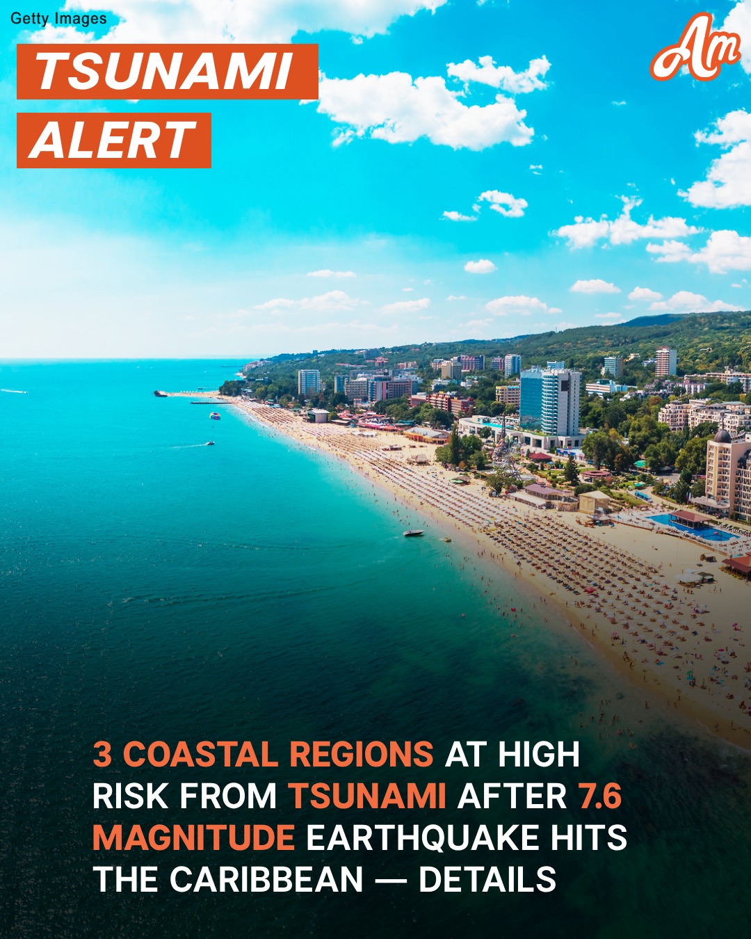
A massive earthquake, measuring 7.6 on the Richter scale, struck the Caribbean Sea late Saturday, triggering tsunami warnings for several coastal regions. The quake occurred at 23:23 UTC on February 8, 2025, with its epicenter located at 17.8°N, 82.5°W, and a depth of 33 km (20 miles).

Tourists in Grand Cayman, Cayman Islands | Source: Getty Images
Following the earthquake, tsunami waves were detected, prompting an alert for certain coastal areas. According to the Pacific Tsunami Warning Center (PTWC), hazardous waves between 1 to 3 meters above tide level are expected along Cuba’s coast. Smaller waves, ranging from 0.3 to 1 meter, may impact parts of Honduras and the Cayman Islands.
Authorities are closely monitoring sea-level gauges to assess the full extent of the tsunami risk. The PTWC emphasized that actual wave heights may differ due to local geography and underwater terrain. Barrier reefs and atolls may experience significantly lower impacts than forecasted.

A picturesque beach in Cuba with golden sand and turquoise waters | Source: Pexels
Estimated Tsunami Arrival Times
The first tsunami waves are expected to reach affected regions within hours on February 9. Estimated arrival times (UTC) include:
- Puerto Cortes, Honduras – 00:22
- Trujillo, Honduras – 01:08
- Santa Cruz del Sur, Cuba – 03:00
- Nueva Gerona, Cuba – 03:50
A tsunami is not a single wave but a series of surges. Some waves may be larger than the initial one, with intervals ranging from five minutes to an hour. The threat could persist for several hours or longer.

A giant wave | Source: Pexels
Officials have confirmed that no tsunami warning has been issued for the United States. However, coastal monitoring will continue as a precaution. Governments in the affected regions are advising coastal residents to stay alert and follow instructions from local officials. Evacuations may be necessary in certain areas, depending on the severity of the waves.
The U.S. Geological Survey (USGS) also acknowledged the quake in a social media post, stating, “Notable quake, preliminary info: M 7.6 – 209 km SSW of George Town, Cayman Islands.”
Hours after the powerful earthquake rocked the Caribbean, the U.S. National Tsunami Warning Center issued key updates, easing concerns in some regions while maintaining caution in others. In a series of social media posts, the agency confirmed that the tsunami threat had passed for the United States and its international partners.
One update stated, “With the latest modeling and information, the tsunami threat has passed. There are no alerts posted for the United States or International Partners. The agency concluded, “Unusual currents may be noticed in some areas. Exercise normal caution.”

Aerial view of the ocean | Source: Pexels
Despite this, alerts remained in place for certain locations. Another update highlighted ongoing monitoring for Cuba, Honduras, and the Cayman Islands. Officials reported that a small tsunami wave—measuring 3 cm (1.2 inches)—was recorded near Isla Mujeres, Mexico, at 01:03 UTC. While minor in size, the reading confirmed that tsunami activity had occurred.
Meanwhile, a third update brought relief to residents of Puerto Rico and the U.S. Virgin Islands, announcing that the tsunami advisory for these regions had been canceled. However, officials warned that strong and unusual currents could persist and urged people to remain cautious near the water.
As tsunami warnings rippled across the Caribbean, the Bahamas Department of Meteorology issued a special weather statement cautioning coastal communities about potential impacts.

3.8 Magnitude Earthquake Felt in Boston & Areas in Maine – Details

‘Prayers for Japan’: 6.6 Magnitude Earthquake Triggers Tsunami Warning – Videos

National Weather Service Issues Freeze Warning for One US State Through Saturday
The advisory, released at 7:45 PM EST on February 8, 2025, noted that the 7.6-magnitude earthquake struck approximately 130 miles south-southwest of George Town, Cayman Islands. In response, the Pacific Tsunami Warning Center (PTWC) issued alerts for several nations across the Caribbean, Central America, and South America.
Officials warned that elevated sea levels could affect parts of the Southeast Bahamas, including Ragged Island, Crooked Island, Acklins, Mayaguana, and Inagua. The advisory also extended to the Turks and Caicos Islands.
Residents along eastern and southern shorelines in these areas were urged to remain vigilant between 7:30 PM and 9:30 PM EST for any unusual changes in coastal conditions. Authorities continue to monitor the situation, advising residents to stay informed through official weather updates.