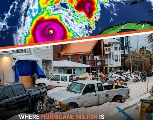
Hurricane Milton: A Simulation Illustrating the Potential Catastrophic Impact and Expected Locations in the Coming Hours
Hurricane Milton is rapidly approaching Florida, gaining strength by the hour. Experts are warning that this storm could be catastrophic, with a recent simulation, shared widely online, leaving many viewers in shock.
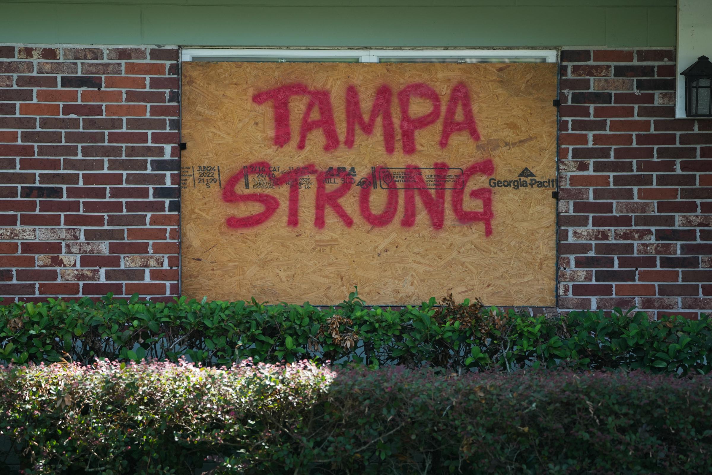
A message on boards put up over windows in Tampa ahead of Hurricane Milton’s expected landfall on October 8, 2024, in Florida. | Source: Getty Images
Hurricane Milton escalated to a Category 5 storm after fluctuating between Categories 4 and 5. The storm’s effects will be strong on Florida’s Gulf Coast, an area still reeling from the aftermath of Hurricane Helene.
Officials are ramping up evacuation orders, closing schools, and warning of dangerous storm surges and power outages, as the state prepares for its largest evacuation in seven years.
Hurricane Milton is approaching, with forecasts indicating water levels could rise as high as 15 feet in areas with onshore winds. The FOX Forecast Center has warned that this could result in a record-breaking storm surge, potentially the worst in the Tampa Bay region in over a century.
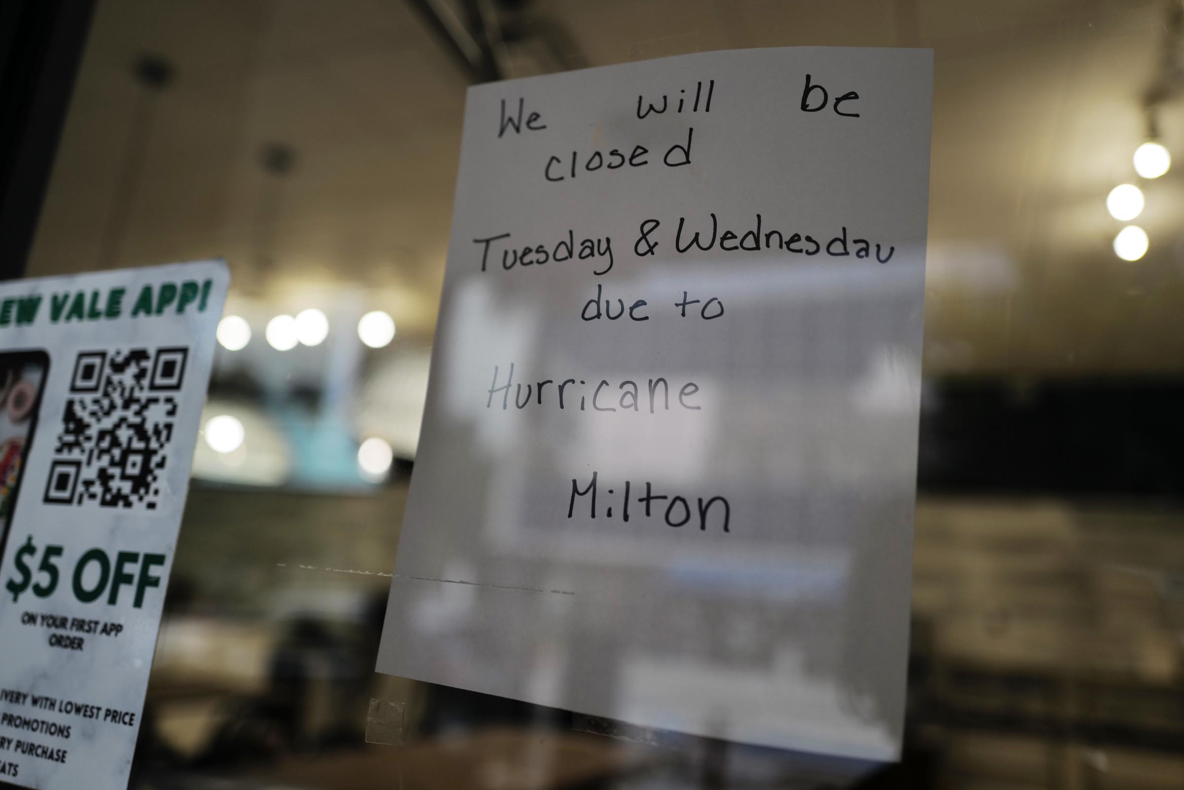
A sign alerts customers that a store will be closed as Hurricane Milton approaches on October 7, 2024 in Tampa, Florida. | Source: Getty Images
This concerning prediction follows the recent devastation caused by Hurricane Helene along Florida’s coastline. As of early Wednesday, October 9, 2024, Hurricane Milton was racing across the Gulf of Mexico, targeting Florida’s central west coast.
With its potentially historic impact looming, mass evacuations have led to gridlocked highways as residents race to escape. The storm is expected to make landfall either late Wednesday night or early Thursday, October 10, 2024.
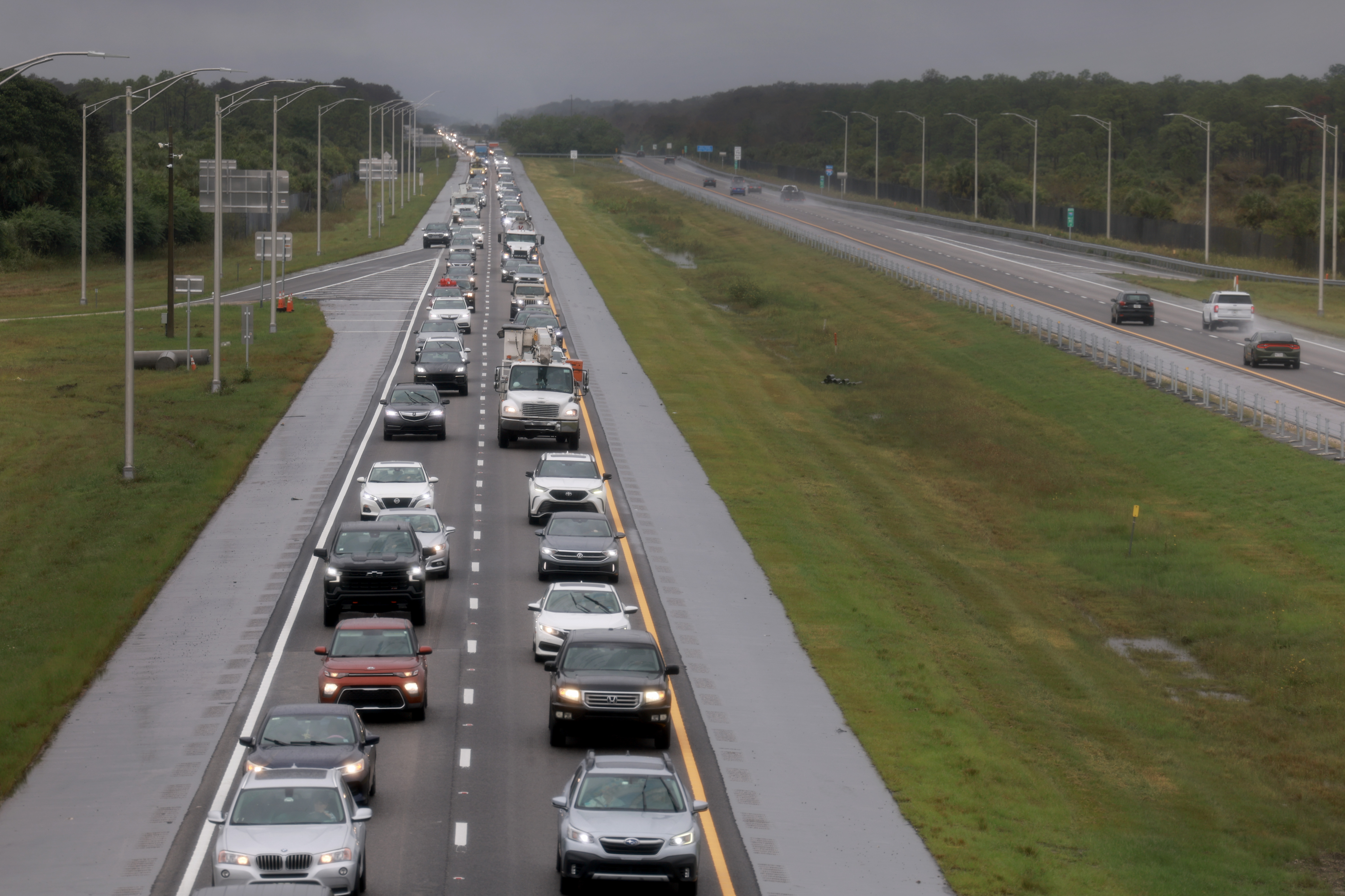
People seen evacuating as Hurricane Milton approaches on October 8, 2024, in Naples, Florida. | Source: Getty Images
The National Hurricane Center announced that while fluctuations in intensity are expected as Milton moves across the eastern Gulf of Mexico, the storm is still projected to be a dangerous major hurricane when it reaches Florida’s west-central coast.
As the storm neared, Tampa Mayor Jane Castor called on residents to take immediate action, urging them to prepare, complete essential tasks, and evacuate from zones A and B without delay.
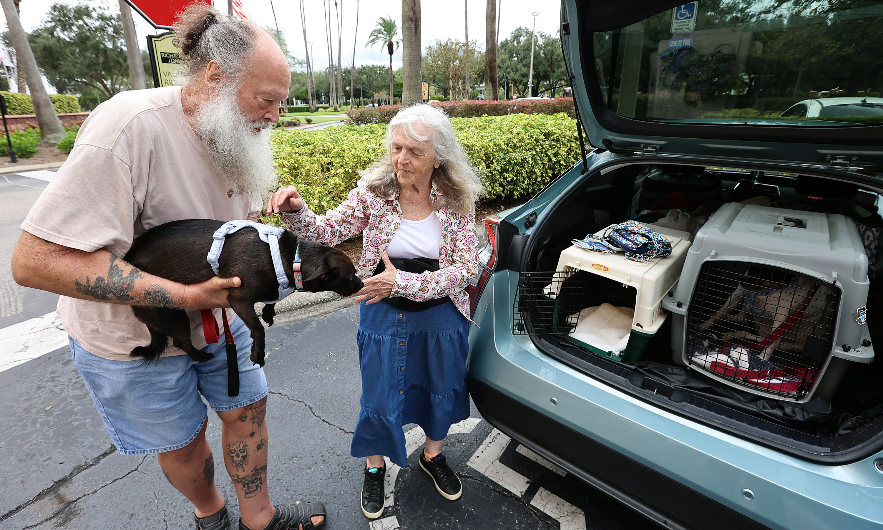
Rex and Ruby Thacher pictured evacuating with their dogs Lulu and Zoey on October 7, 2024, in Orlando, Florida. | Source: Getty Images
In a televised interview, she noted that many appeared to be following the advice, pointing to the heavy traffic on northbound highways as evidence of their response.
When questioned about those considering ignoring the urgent warnings, Mayor Castor delivered a serious message. She cautioned, “Helene was a wake-up call, this is literally, catastrophic. And I can say without any dramatization whatsoever, if you choose to stay in one of those evacuation areas, you’re going to die.”
Meteorologists from NBC News predicted that Florida’s west coast would experience rain, strong winds, and potential storm surges starting Tuesday night, October 8, 2024. They also forecasted that Hurricane Milton would make landfall between St. Petersburg and Sarasota late Wednesday or early Thursday.
Meanwhile, CBS News Meteorologist Nikki Nolan shared that the latest forecast suggests Hurricane Milton would likely be a low-end Category 4 when it reaches landfall.
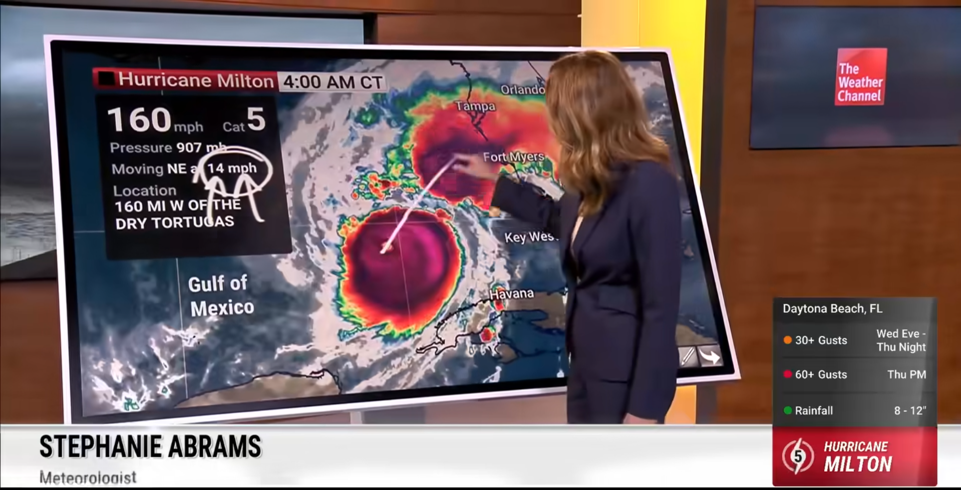
Screenshot showing the movement of Hurricane Milton | Source: Facebook/TheWeatherChannel
Hurricane Milton is positioned about 160 miles west of the Dry Tortugas and 300 miles southwest of Tampa, Florida, moving northeast at 14 mph. With maximum sustained winds of 160 mph and a central pressure of 907 mb, the storm is expected to hit Florida’s Gulf Coast later tonight as a major hurricane.
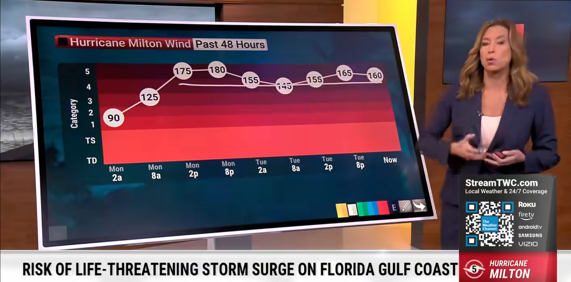
Screenshot showing the fluctuating wind speed of Hurricane Milton | Source: Facebook/TheWeatherChannel
A Storm Surge Warning has been issued for Florida’s west coast from Flamingo to Yankeetown, including Tampa Bay and parts of Georgia’s coastline.
A Hurricane Warning is also in effect from Bonita Beach to the Suwannee River on Florida’s west coast and from the St. Lucie/Martin County line to Ponte Vedra Beach on the east coast. A Storm Surge Watch is in place from Altamaha Sound, Georgia, to Edisto Beach, South Carolina.
In the image from The Weather Channel, a simulation is being shown to illustrate the potential impact of Hurricane Milton’s storm surge on Florida’s west coast. The FloodFX technology highlights a surge rising above 9 feet, as seen in the simulation’s graphics.
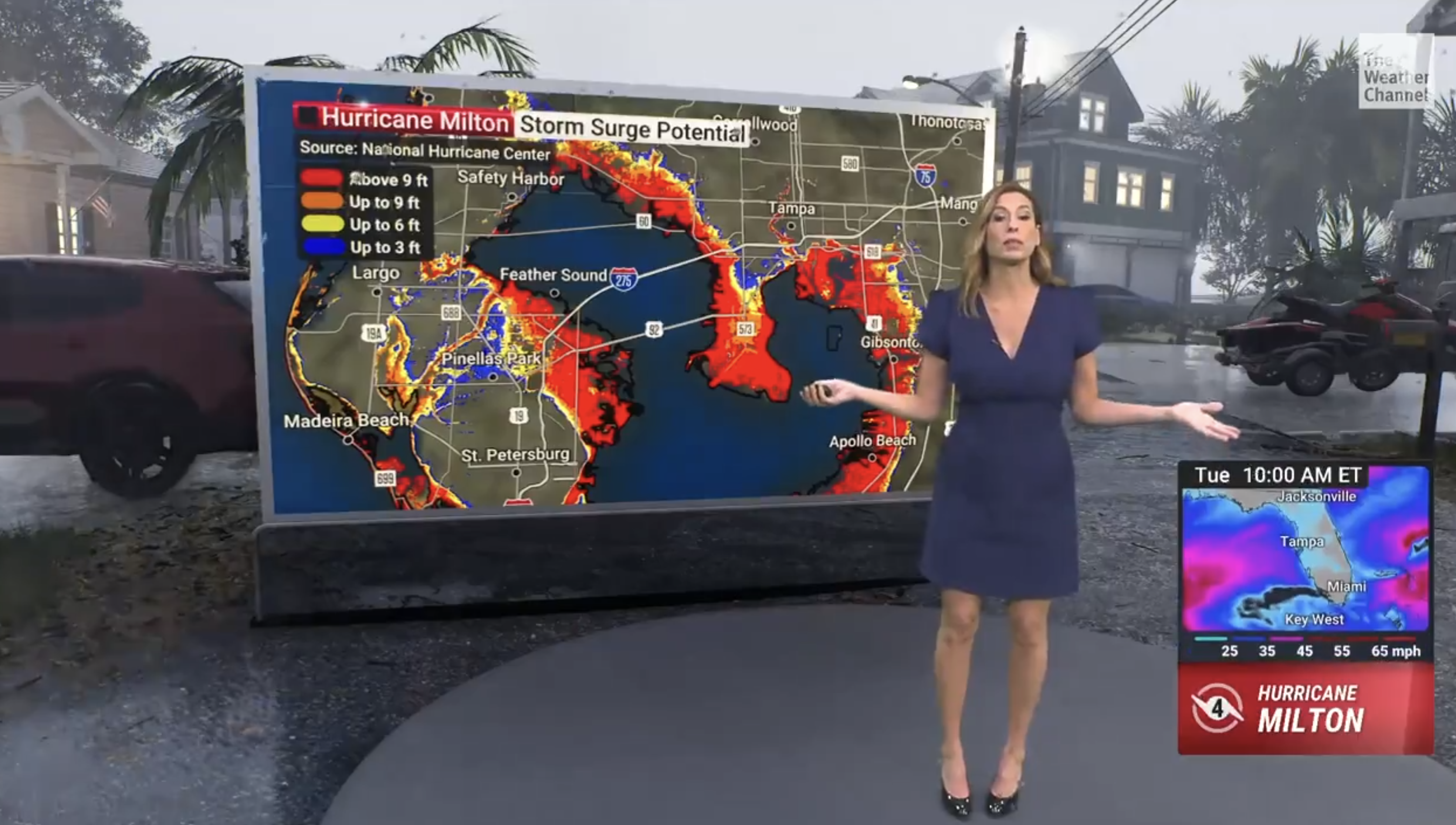
Stephanie Abrams giving a closer look at the potential impact Hurricane Milton would have in Florida | Source: X/weatherchannel
The visual places a person within the storm scenario, making the towering wall of water even more striking. This simulation effectively shows the destructive power of storm surges in the path of Hurricane Milton.
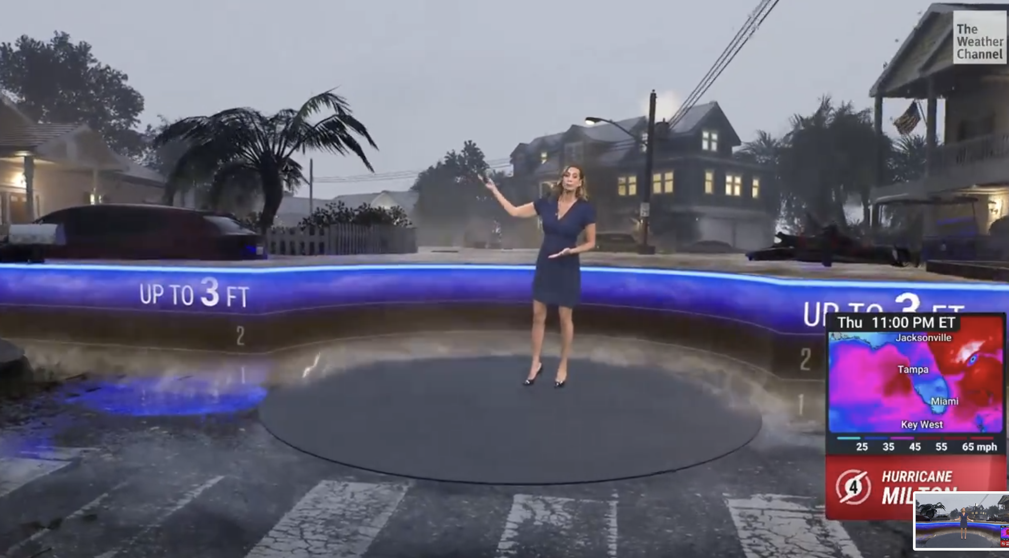
Stephanie Abrams giving a closer look at the potential impact Hurricane Milton would have in Florida | Source: X/weatherchannel
Social media users reacted strongly to the simulation shared, expressing their alarm and concern over the potential impact of Hurricane Milton.
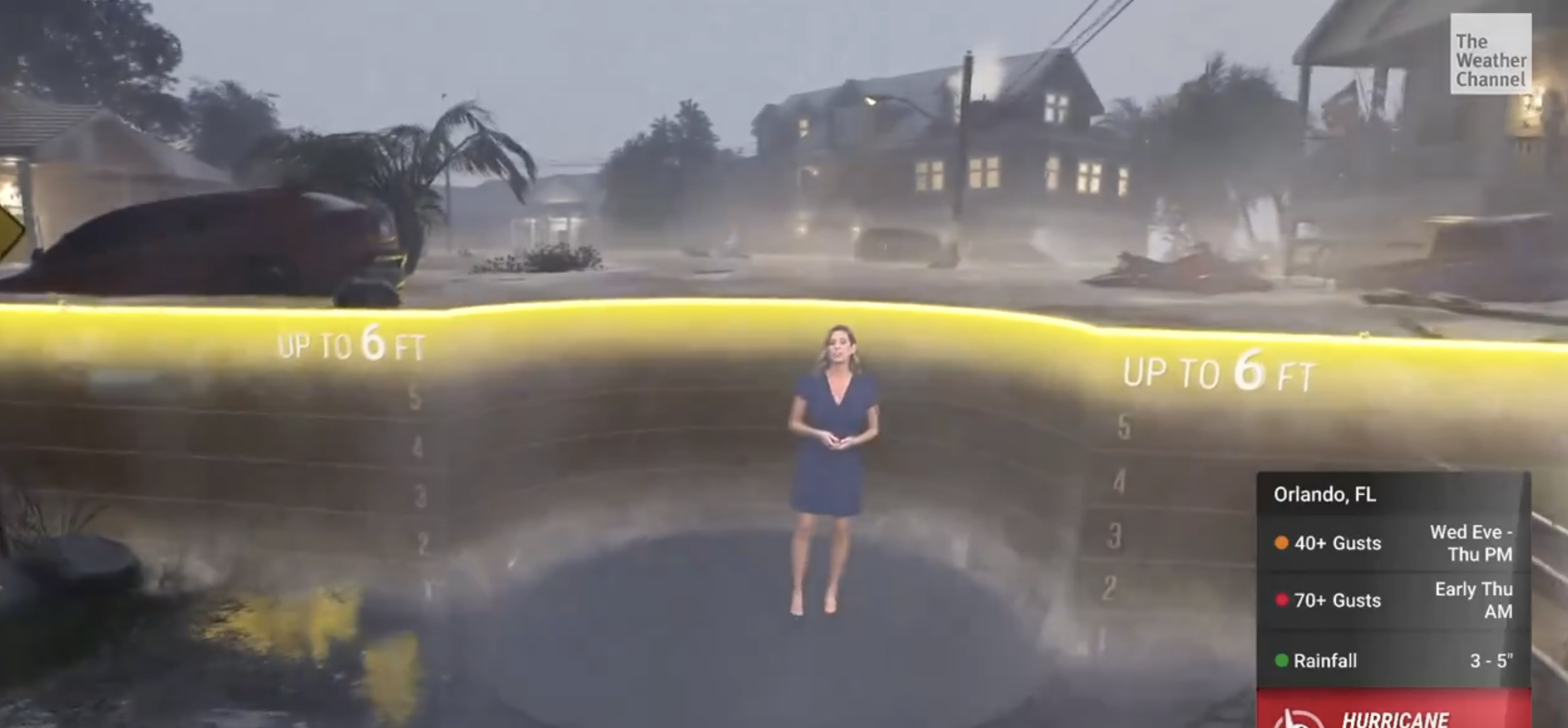
Stephanie Abrams giving a closer look at the potential impact Hurricane Milton would have in Florida | Source: X/weatherchannel
One user commented, “That’s absolutely terrifying.” Another echoed, “Terrifying 


The simulation of Hurricane Milton’s storm surge has left many online deeply concerned, as they brace for the potentially devastating impact on Florida’s coast. With residents preparing for the worst, the gravity of the situation continues to escalate.
